The level is a surveying instrument commonly used in fields such as construction engineering and topographic mapping. It is primarily employed to determine the difference in elevation between two points; by precisely measuring the elevation of points on the ground, it provides fundamental data for engineering planning, construction, and quality acceptance. Its core function involves using optical or electronic systems to convert the elevation difference between a target point and a reference point into a readable value, enabling users to quickly obtain precise vertical measurements.
1. Technical Principles and Key Parameters:
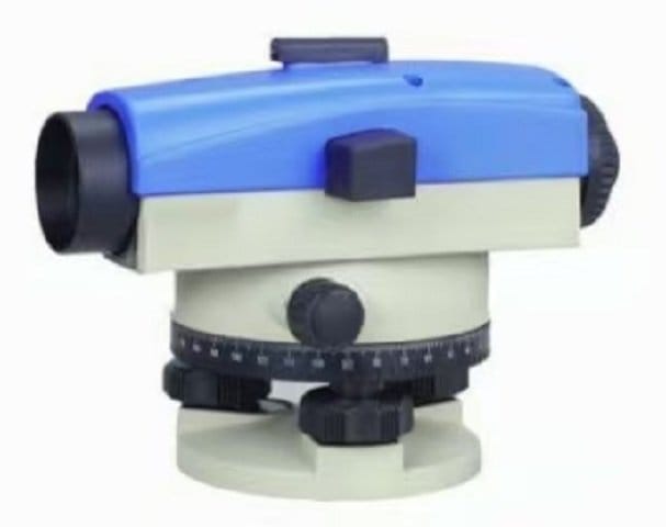
The operating principle of a level is based on the perpendicular relationship between the direction of gravity and the horizontal plane. During measurement, the instrument utilizes an internal compensator (such as a suspended prism or an electronic sensor) to automatically correct errors caused by instrument tilt, ensuring that the line of sight remains consistently horizontal. Key specifications include the automatic leveling accuracy (±0.4″) and the standard deviation of double-run leveling per kilometer (±1.0mm); the former reflects the instrument’s ability to automatically correct tilt, while the latter indicates the level of error control during long-distance measurements. Taking the Yiguang NAL132 as an example, its lightweight 2kg design (including the base) and carton packaging balance portability with safe transport.
2. Usage and Application Scenarios:
Operation involves mounting the instrument on a tripod, observing the target point through the eyepiece or display screen, and adjusting the compensator to center the bubble (some models support electronic leveling). A minimum focusing distance of 1 meter allows for clear imaging at 32x magnification, even in confined spaces (such as indoor renovations or pipeline surveying). It is suitable for use across all 31 provincial-level regions in China, operating reliably from northern plains to southwestern mountainous areas; however, environments with strong winds, vibrations, or extreme temperatures should be avoided to prevent compromising the compensator’s sensitivity.
3. Technical Highlights and Performance:
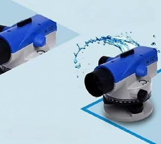
Compared to traditional levels, the NAL132 model features an optimized compensator structure and optical system that reduces leveling time to under 3 seconds while keeping the measurement error per kilometer within ±1.0mm—an error margin equivalent to less than the thickness of a single coin over a 1,000-meter distance. Its base design enhances stability, minimizing slight oscillations caused by uneven ground. Additionally, as a standard off-the-shelf model (SKU: NAL132), it lowers the barrier to entry, allowing users to deploy it immediately for engineering surveys without complex setup or calibration.
4. Selection and Maintenance Recommendations:
When selecting a level, one should comprehensively evaluate factors such as measurement distance, accuracy requirements, and environmental conditions. For instance, long-distance projects (like highways) require prioritizing the standard deviation per kilometer, whereas indoor or short-range measurements may focus more on minimum focusing distance and magnification. Routine maintenance involves regularly cleaning the objective lens and eyepiece to prevent dust from affecting image clarity; for long-term storage, it is recommended to detach the base and store the unit in a dry environment to prevent metal parts from rusting.